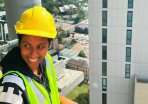


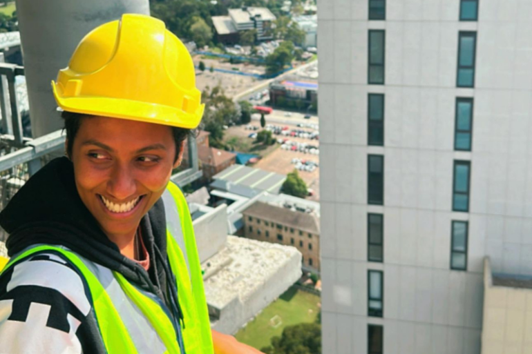
Breaking Barriers: Bhaggya’s Journey to Graduation with Habitat Women
Breaking Barriers with Habitat Women: A Graduate’s Inspiring Story In the construction world, the sound of tools buzzing and steel clanking is often heard as a male-dominated melody. But Habitat…
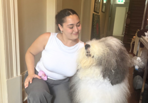
Jennifer’s Story: From Refuge to Real Estate Student
Jennifer’s journey is a testament to the transformative power of safe, stable, and supportive housing. When she arrived at the refuge at just 13, she was apprehensive, believing that “living…
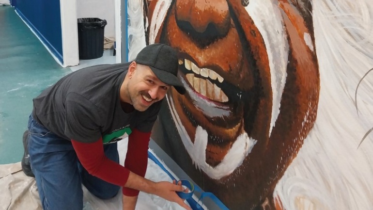
A Brighter Future with Every Brushstroke
A Brighter Future with Every Brushstroke
🎥 Watch our story here: Our Dulux Partnership
At Habitat for Humanity Australia, partnerships sit at the heart of everything we do. Together with…
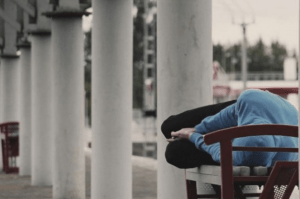
The Reality of The Australian Housing Crisis That You Need To Know About
The housing crisis in Australia is far from a one-dimensional issue, and the stereotypical image of a homeless person should no longer be what comes to mind. As the housing…
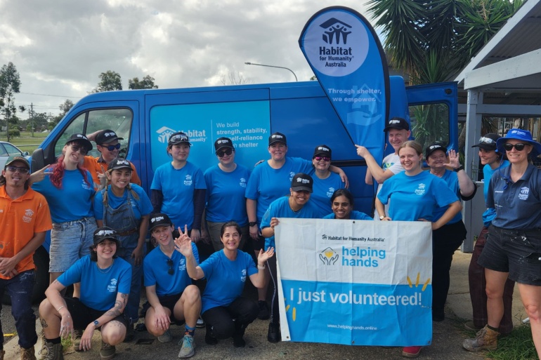
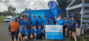
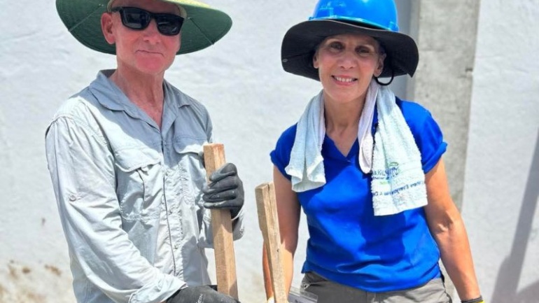
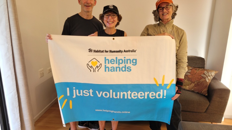
What a Transformation – How Our Front Yard Blitz Improved 30 Homes in 30 days
30 Homes in 30 Days: Front yard Blitz a Transformational Success
What an incredible achievement! Over the past few months, our Front yard Blitz has brought together hundreds of volunteers,…

From Vacant to Vibrant: How Meanwhile Use Housing Makes Change
is Making a Difference
What is Meanwhile Use: how does it help those in need?
In housing, the term "meanwhile use" refers to the temporary use of vacant or underutilised…
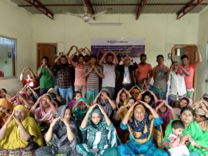
3 Reasons We Need To Include Women in Climate Resilience
The Importance of Including Women in Climate Resilience: 3 reasons why
Climate change is one of the greatest challenges of our time, both at home in Australia, and overseas in…
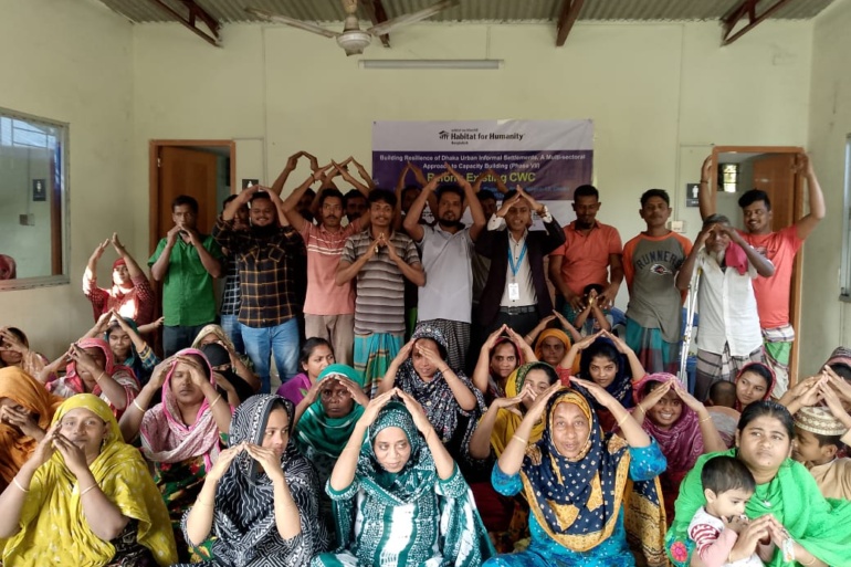
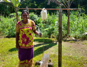
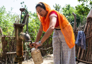
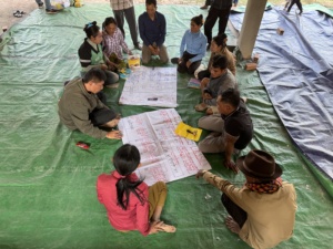
From Struggle to Strength: Safe Water and Strong Voices
Building Resilience in Dhaka’s Slums: Empowering Communities Through Safe Water and Strong Voices
Right in the heart of Dhaka’s Beguntila slum, a major shift is happening. What was once a…
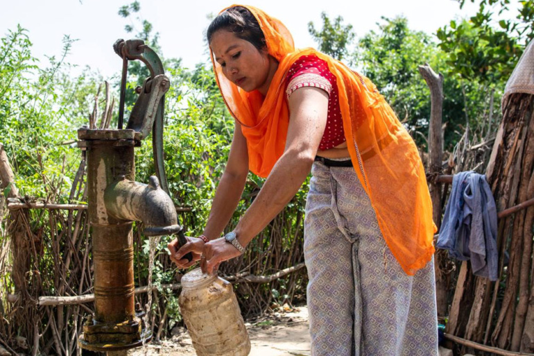
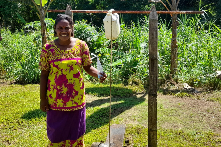
world water day – how to drive action overseas
World Water Day 2025: Addressing the Global Water Crisis with Habitat for Humanity Australia
World Water Day, celebrated annually on March 22, is a reminder of the importance of safe…
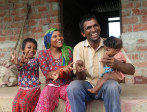
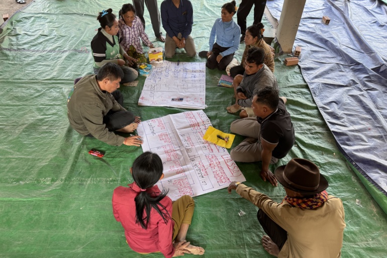
Our 4 International Projects: What, Where, Why, and How?
Four impactful projects, implemented by Habitat for Humanity Australia, in partnership with local organisations, are working to empower vulnerable communities in Bangladesh, Cambodia, Nepal, and Vietnam.
These initiatives aim…
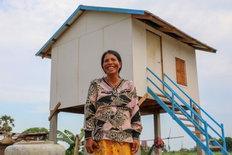
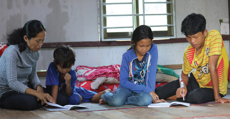
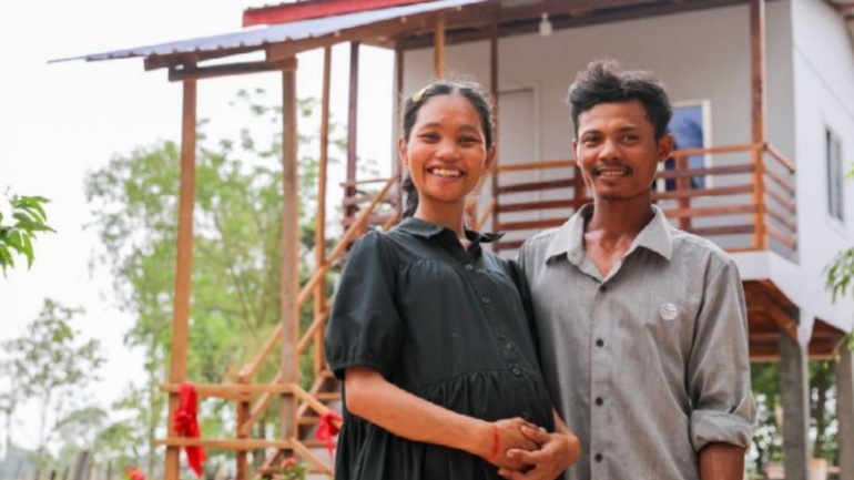
Inclusivity Through Shelter: Cambodia is Leading the Way
Building Inclusive Shelter - Cambodia Case Study
In the heart of Cambodia, about 45 kilometres from the bustling city of Siem Reap, lies the small village of Chob, nestled in…
Habitat for Humanity Australia’s Work Overseas | 2024
At Habitat for Humanity Australia, we're dedicated to building a world where everyone has a safe, affordable place to call home. Across the Asia-Pacific region, we’re working hand-in-hand with local…
Every year, Habitat for Humanity Australia recognises the outstanding contributions of young individuals who demonstrate a profound commitment to volunteering. In 2024, we are thrilled to honour Zoe Kasinathan as our Young Volunteer…
Celebrating Habitat for Humanity Australia’s Corporate Volunteer of the Year: Turner & Townsend
Every year, Habitat for Humanity Australia recognises the exceptional contributions of corporate teams that go above and beyond in their…
Every year, Habitat for Humanity Australia honours an exceptional individual whose dedication and commitment to volunteering have significantly impacted communities both locally and abroad. In 2024, we are proud to celebrate Mary Zahariou…
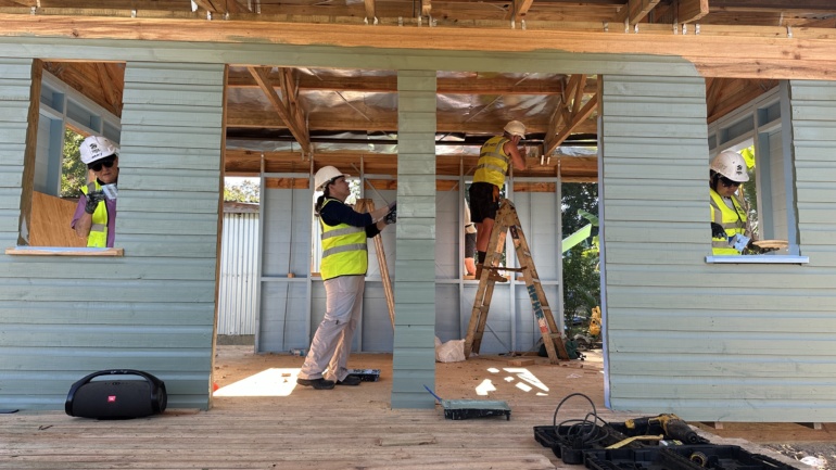
Hayley and Heaths Engagement Story: Celebrating love and life on the Global Village program in Fiji.
Our Global Village program allows volunteers to make a tangible difference by helping communities in need build safe, secure homes. Through this initiative, participants from around the world can join together to work…
Habitat Australia’s Brush with Kindness program supports disadvantaged and vulnerable members of our community through mobilising volunteers to refurbish, repair and refresh crises and transitional accommodation for people facing hardship, including those recovering…
This year, we’re delighted to honour Jan and Greg, our Volunteers of the Year at Habitat for Humanity Australia. Their commitment to our Brush with Kindness (BWK) program in Queensland has been truly…
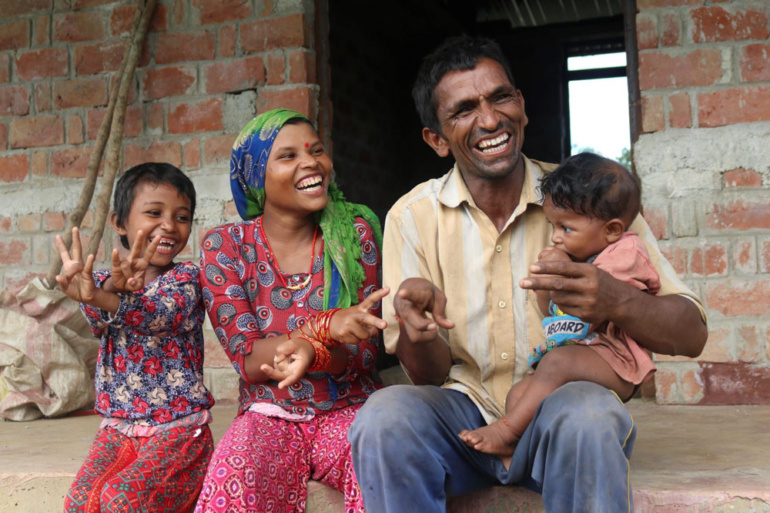
Heng and her family of five from Cambodia in a dilapidated hut constructed with old and worn zinc sheets. With no proper doors or locks, their home offered little security or comfort. Struggling…
At Habitat for Humanity Australia, every effort made is a step towards a world where everyone has a decent place to call home. The 2024 financial year has been a testament to the…
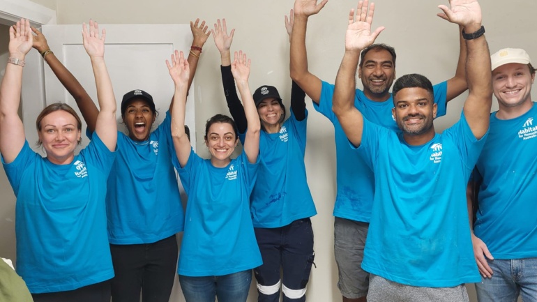
Australia’s construction and trade industries have been male dominated, with women making up just 24% of the workforce. Your support is transforming that imbalance through our Habitat Women program – empowering women with…
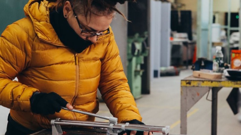
In Australia, the construction industry is traditionally very male dominated, with only 24% of the workforce identifying as female. (WGEA, May 2024) However, initiatives like our Habitat Women program are changing the landscape…
This spring we bring you our latest Build a Better World newsletter featuring Global Village updates, the latest Bushfire Resilience news, a reflection on NAIDOC week and an exclusive Safewill partnership offer.
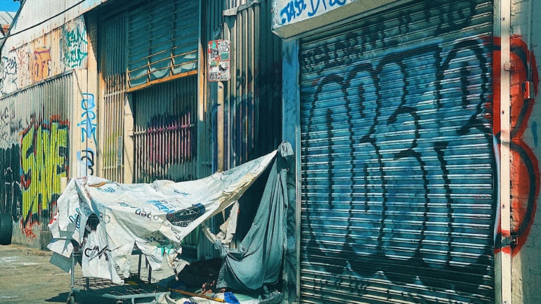
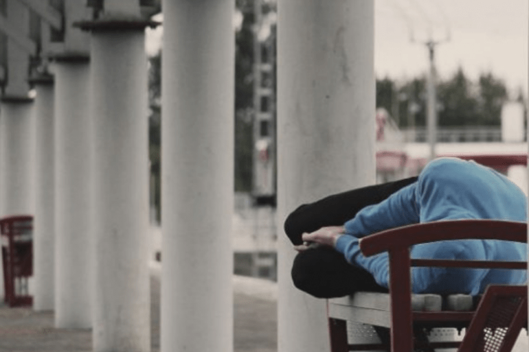
It is 2023 and Australia is still grappling with a complex and pressing issue – homelessness. Every year, thousands of Australians find themselves without a place to call home, facing a daunting and…